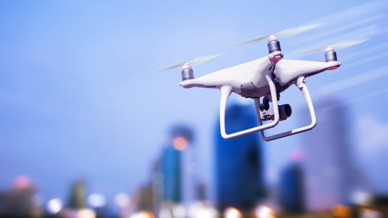
The National Aeronautics and Space Administration (NASA) is looking to manage the growing number of unmanned aerial vehicles (UAVs) with augmented reality tools to ensure safety in the air and visibility for air traffic management.
In a blog post, the agency detailed the efforts of its Unmanned Aircraft Systems Traffic Management project, led by the Airspace Operations Laboratory in Silicon Valley to track drone traffic, learn more about its purpose, and alert authorities to potential conflicts using the HoloLens headset. The software can also be used on smartphones, supporting a low barrier to entry for people looking to learn more about drone traffic.
“We wanted to make some of the invisible information about the automated traffic systems managing these vehicles, and the vehicles themselves, more easily accessible from the ground,” said Joey Mercer, a researcher at NASA’s Ames Research Center.
In testing, the project allowed researchers to track drones, visualize the connections between flight paths, and visualize simulated drones in the same airspace. The project successfully underwent testing for Technical Capability Level 4 designation.
“As we look at how to safely integrate these vehicles into already complex city infrastructures and airspaces, augmented reality is a great tool, with a lot of potential for how we think of managing our skies in the future,” Mercer added.
