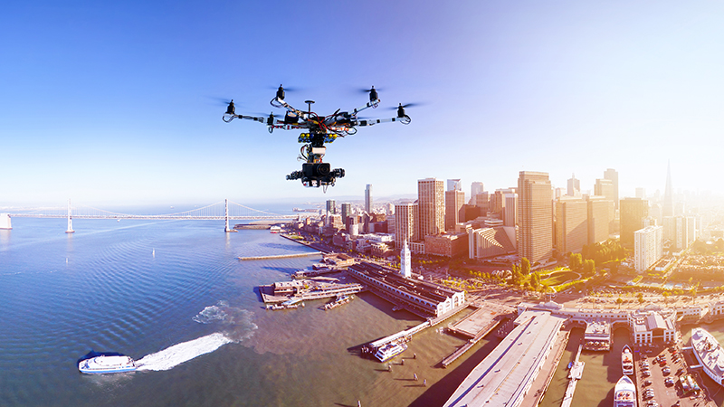
The White House launched a new effort Tuesday to help increase the use of drones and showcased how government agencies have become a proving ground for a wide array of new drone concepts and technologies.
The workshop, hosted by the Office of Science and Technology Policy, outlined some interesting use cases for drone technology that the Federal government is leading the way on, as well as an aggressive agenda for boosting the profile of drones in the U.S. economy. Here are 13 interesting facts that came out of the workshop.
- The FAA has registered more than 520,000 drone operators in the last eight months. “To put that in perspective, we have only 320,000 registered manned aircraft on the aircraft registry of the United States and it took us 100 years to get there,” said FAA Administrator Michael Huerta.
- The size of the consumer Unmanned Aerial Vehicle (UAV) market is estimated to be approximately $16 billion. The commercial UAV market is projected to reach $4 billion by 2020. Over the next decade, the estimates are that drones will contribute approximately $80 billion to the U.S. economy.
- To be able to safely operate multiple drones at once is going to become a critical factor for commercialization. Potential uses for multiple drones include search-and-rescue operations, delivery, or inspections of large structures, such as bridges. Current tests have successfully managed 100 drones through a single operator console. Work is underway to be able to scale that to potentially 1,000 or more drones, according to Intel Corp. CEO Bryan Krzanich.
- There remain a number of significant regulatory challenges to integrating drones into the national airspace system, including privacy, spectrum usage, safety, and scalability. “We are literally at the edge” of developing drones that operators cannot run into other objects, Krzanich said.
- Lockheed Martin has developed ground collision avoidance software for the F-16 fighter jet in the event of pilot loss of consciousness or control. That software has saved at least two pilots during recent operations. “That type of technology can be applied to an unmanned system to prevent it from entering a restricted area,” said Robert Ruszkowski, director of Advanced Air Dominance and Unmanned Systems Aeronautics at Lockheed Martin. “I think there’s a lot of technology that’s on the shelf, it’s ready to go and it’s been proven.”
- Drones have become a critical tool for the Department of Interior, which manages 500 million acres of land in the U.S. and 1.7 billion acres on the outer continental shelf. Drones are contributing to Interior’s various missions of fire suppression, mine inspections, oil spill response, and critical infrastructure monitoring.
- The future of unmanned systems at Interior includes a mix of in-house and contractor operated UAVs, a cloud strategy for data processing, and a 50 percent increase in DOI aviation users. By FY 2019, DOI will have in place procedures for rapid data processing of UAV-acquired data using the cloud. This will dramatically reduce the time needed to process imagery at a local office.
- DOI will share near-real-time fire location information with the public by July 2017 as part of a multifaceted effort to prevent unauthorized drone incursions over active wildfires.
- The National Oceanic and Atmospheric Administration (NOAA) is actively researching high-altitude, long-endurance UAVs that can be used for real-time weather data in the event of a problem with a satellite system.
- Within the next year, NOAA plans to deploy an optionally piloted UAV. This is a medium-altitude aircraft that will be used to collect precise gravity measurements. NOAA collects gravity measurements across the entire United States and converts them into vertical elevation data of the surface. That data is used for flood plain mapping and preparing for hurricanes, tsunamis, and storm surges along coastal areas.
- “Within the next few years, we’re looking at how to use [UAVs] to collect weather data in real time and be able to put that data into our weather forecast models,” said Robbie Hood, NOAA’s unmanned aircraft systems director. NOAA has a study underway now using both a high-altitude UAV and a UAV that can be launched from a manned aircraft that can fly above storms and provide higher resolution data than is currently available via satellites.
- NASA and the FAA are launching a data exchange working group under the UAS Traffic Management (UTM) Research Transition Team (RTT) to address the challenge of coordinating information between operators, entities that use UTM to perform services, and the FAA. This group will develop a consistent format for data to be shared across the affected parties with recommendations slated for release in FY 2017.
- The United States Postal Service Office of Inspector General plans to publish new findings and analysis on the public’s rapidly evolving opinion of drone delivery as a potential future logistics technology.
Read More About
Recent
More Topics
